Developing High Quality GIS for the Energy Sector of Uganda
Our Vision
To develop a high quality GIS for the Energy Sector of Uganda.
Our Mission
To collect, process and share geo-data for the Energy Sector of Uganda to be used as a management decision support tool.
Background
In the past GIS Data in Uganda was often not compatible and every organization in the energy sector used its own GIS datasets, formats and coordinate systems. To be more effective and consistent an Energy Sector GIS Working Group was formed during the Joint Planners Meeting for the Energy Sector in 2011.
GIS experts from UETCL, REP, UMEME, UEGCL, UEDCL, MEMD and GIZ agreed on common mapping standards and developed a common geo-database for the Energy Sector in Uganda.
Objectives
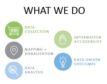
Setup an interactive and accessible sector-wide GIS platform that can aid in sector planning tasks and activities.
Establish sector-wide accepted geospatial data standards that make it possible to streamline data sharing, planning and collaboration.
Conducting energy sector data capture exercises on all aspects of energy sector related areas.
Regular update of the Energy Sector GIS database.
Publish updated data, statistics and maps from individual organizations and encourage publicly accessible datasets that showcase plans and accomplishments in the energy sector.
Liaison with external GIS users in other sectors of governance to harmonise spatial data for proper planning, monitoring and evaluation.
Promote skills and capacity development in GIS for all energy sector agencies.


