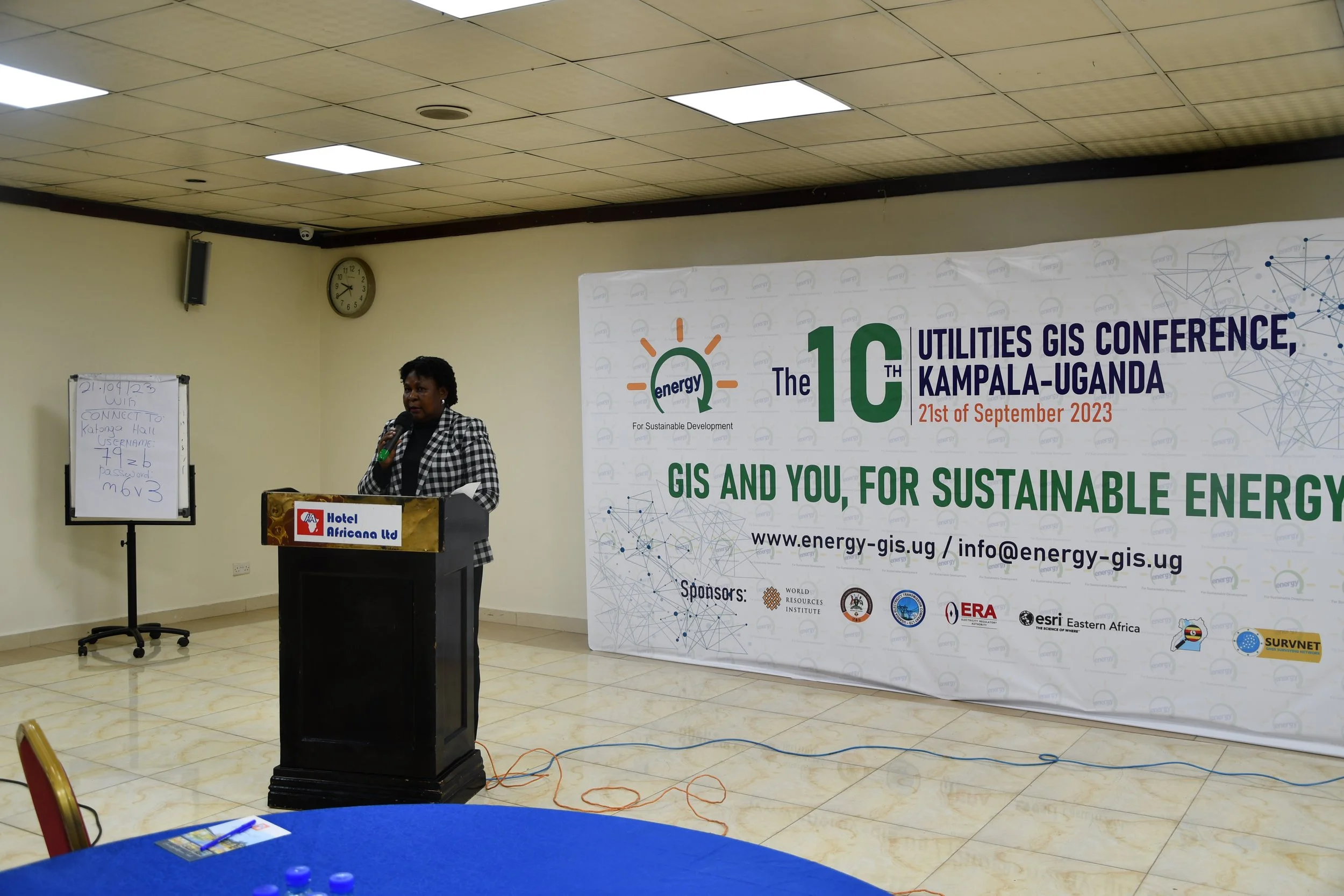
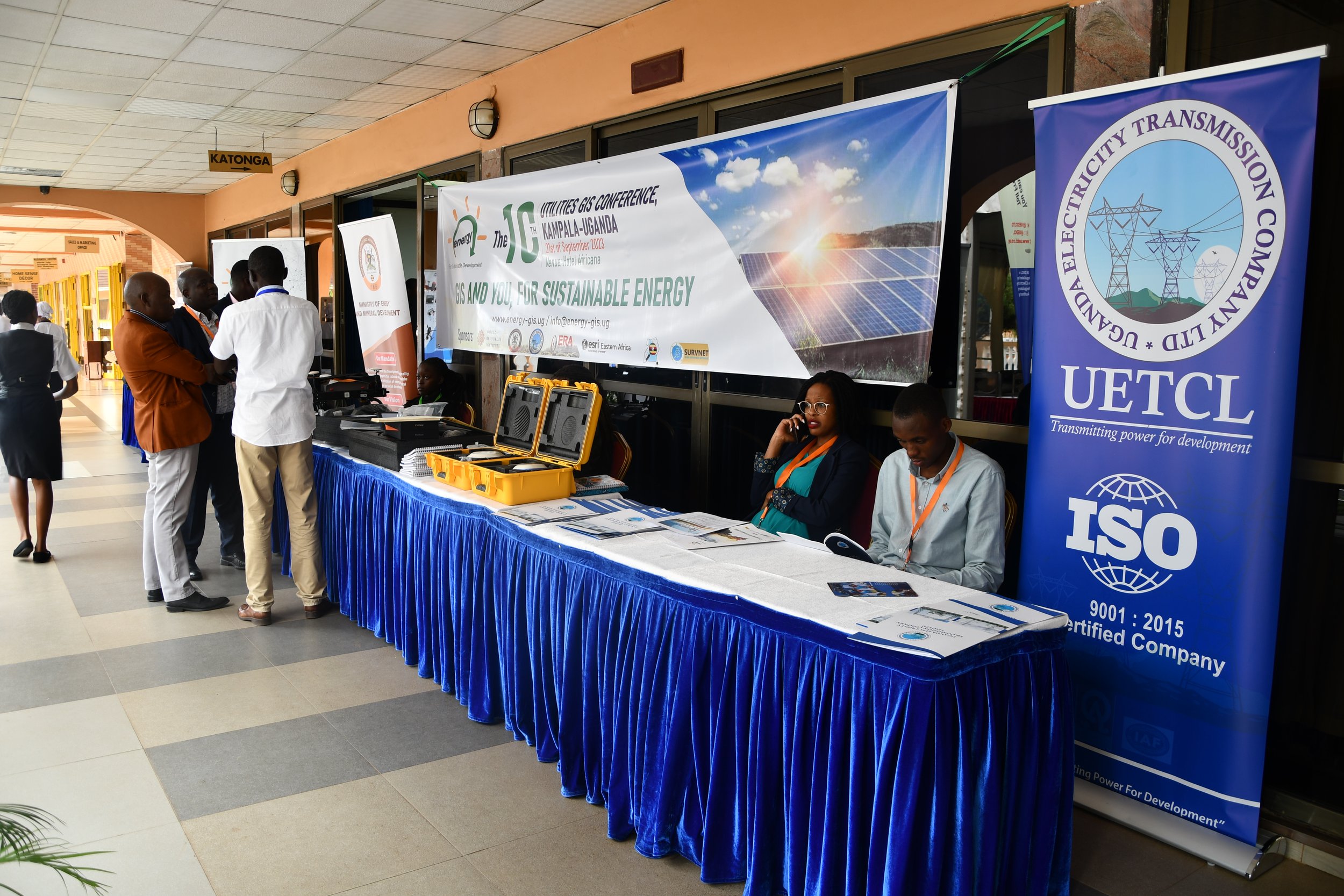
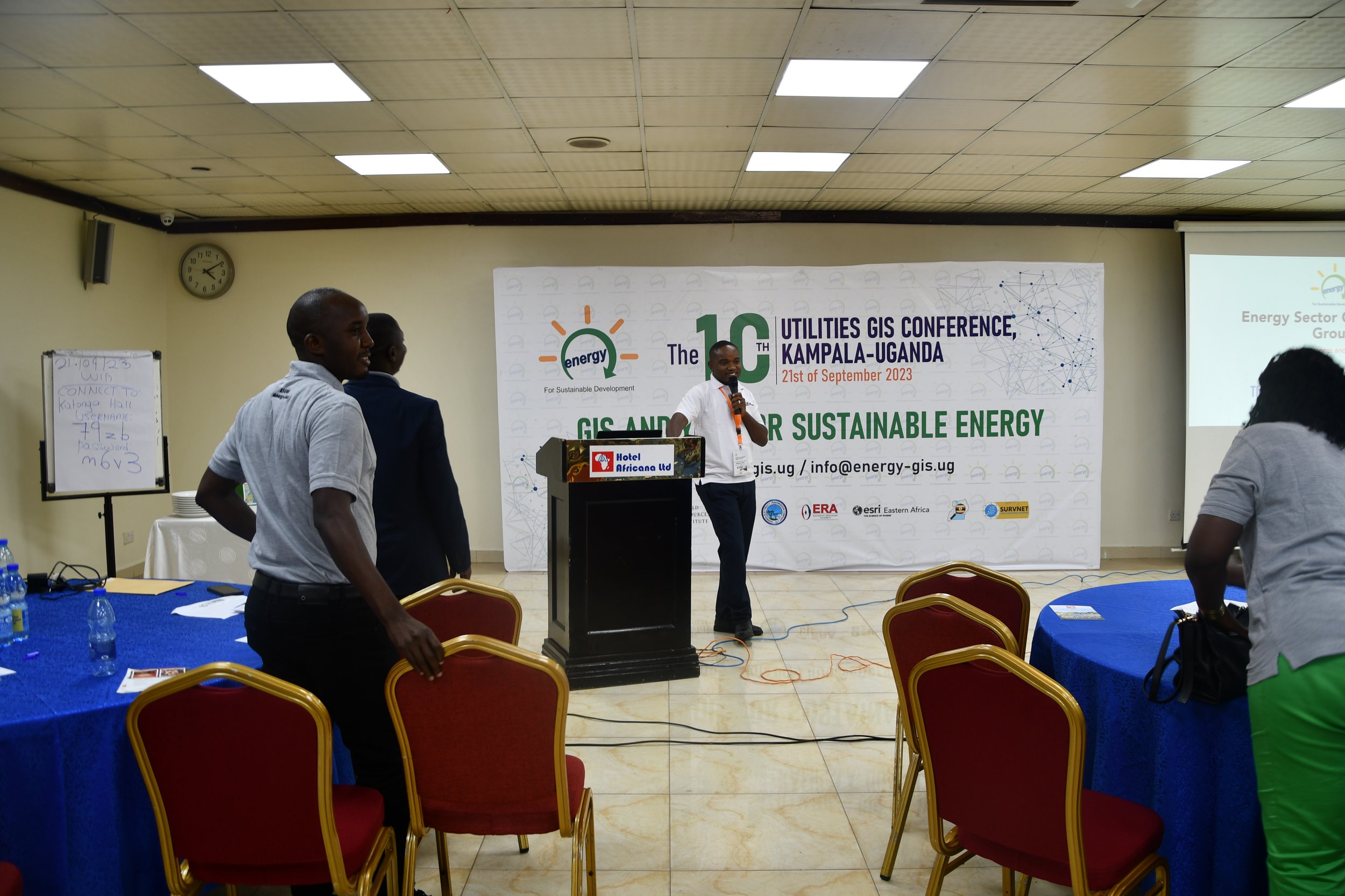
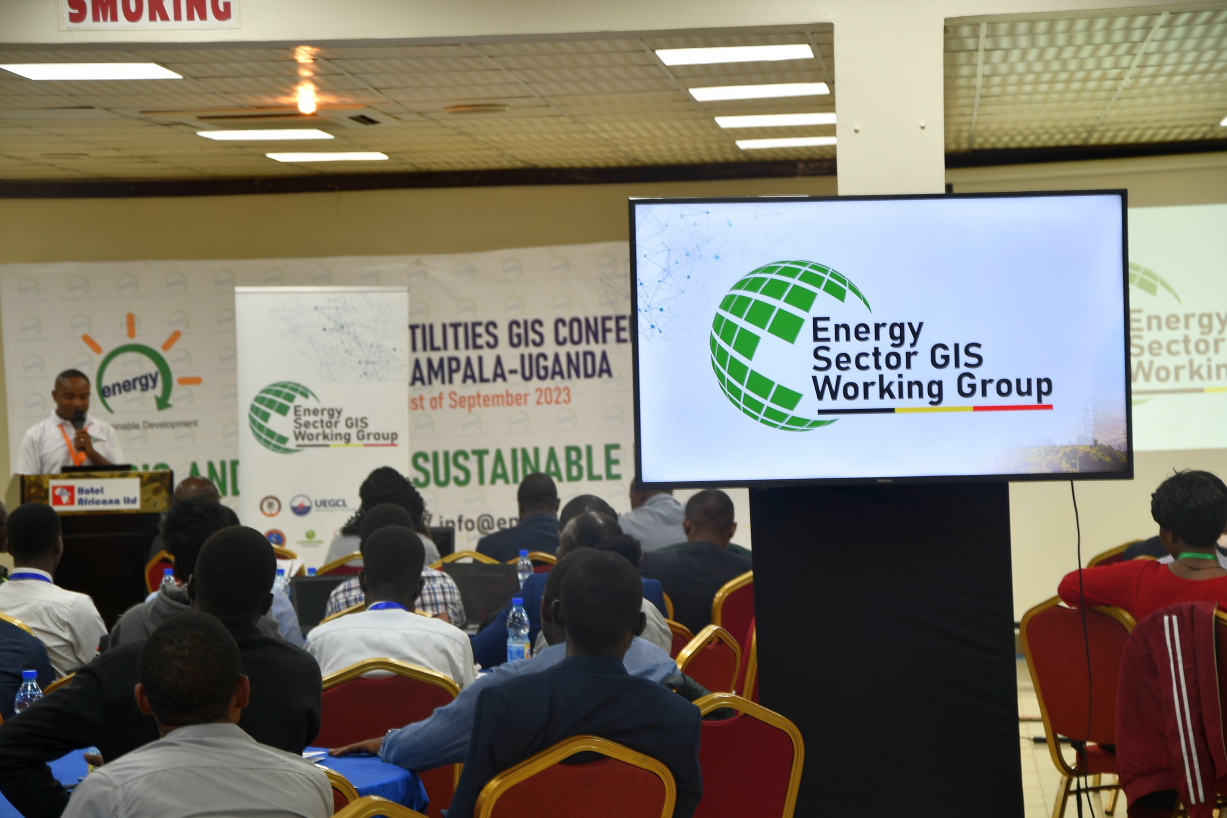
Thank you for attending the10th Utilities GIS Conference!
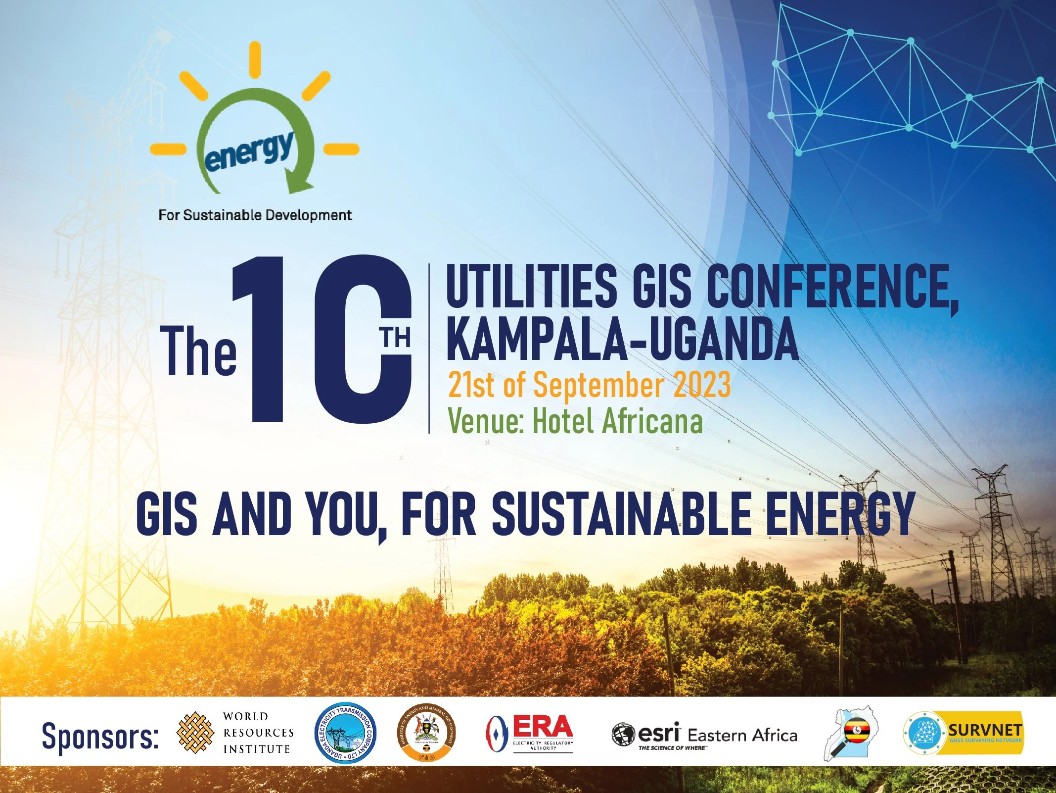
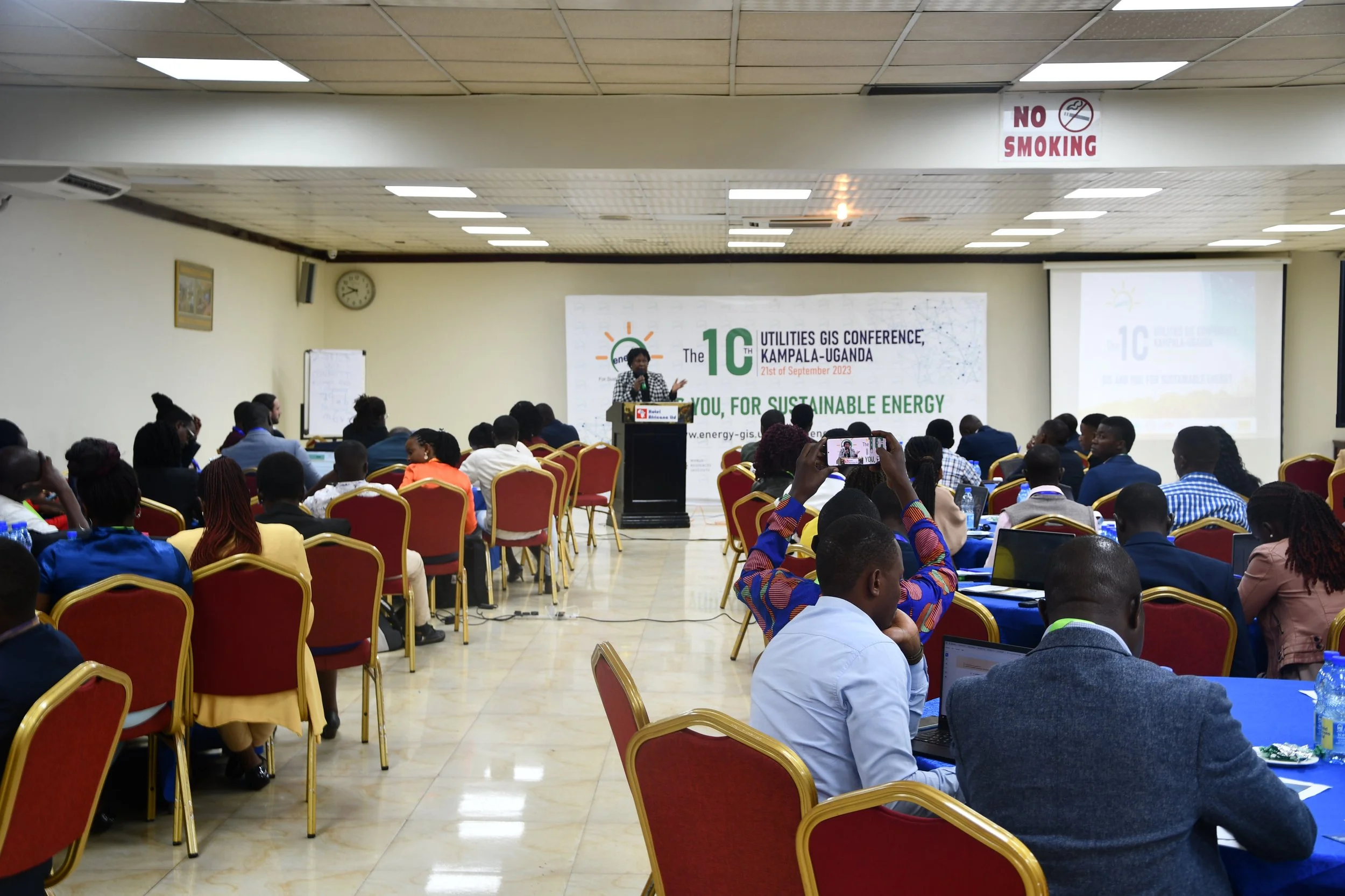
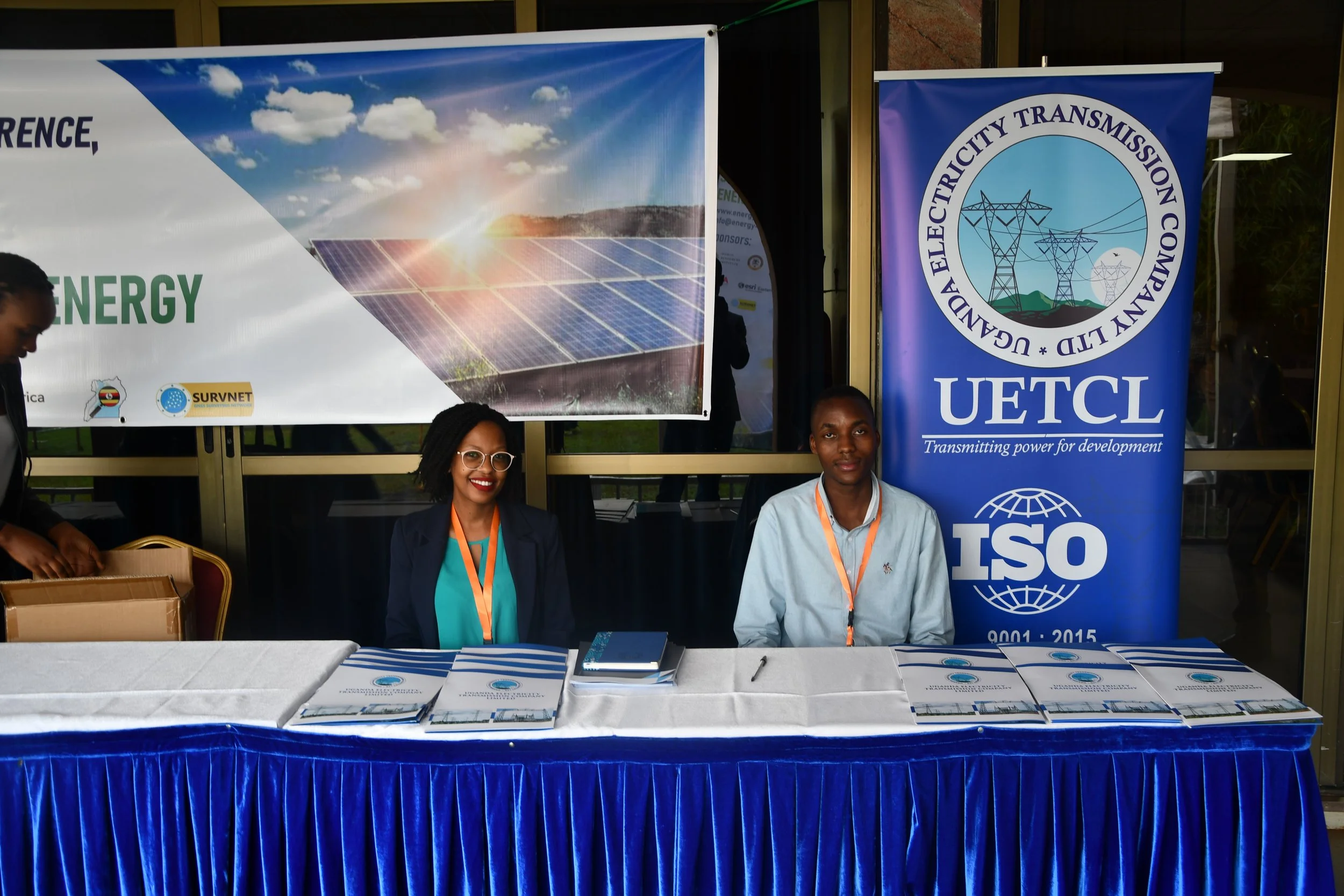


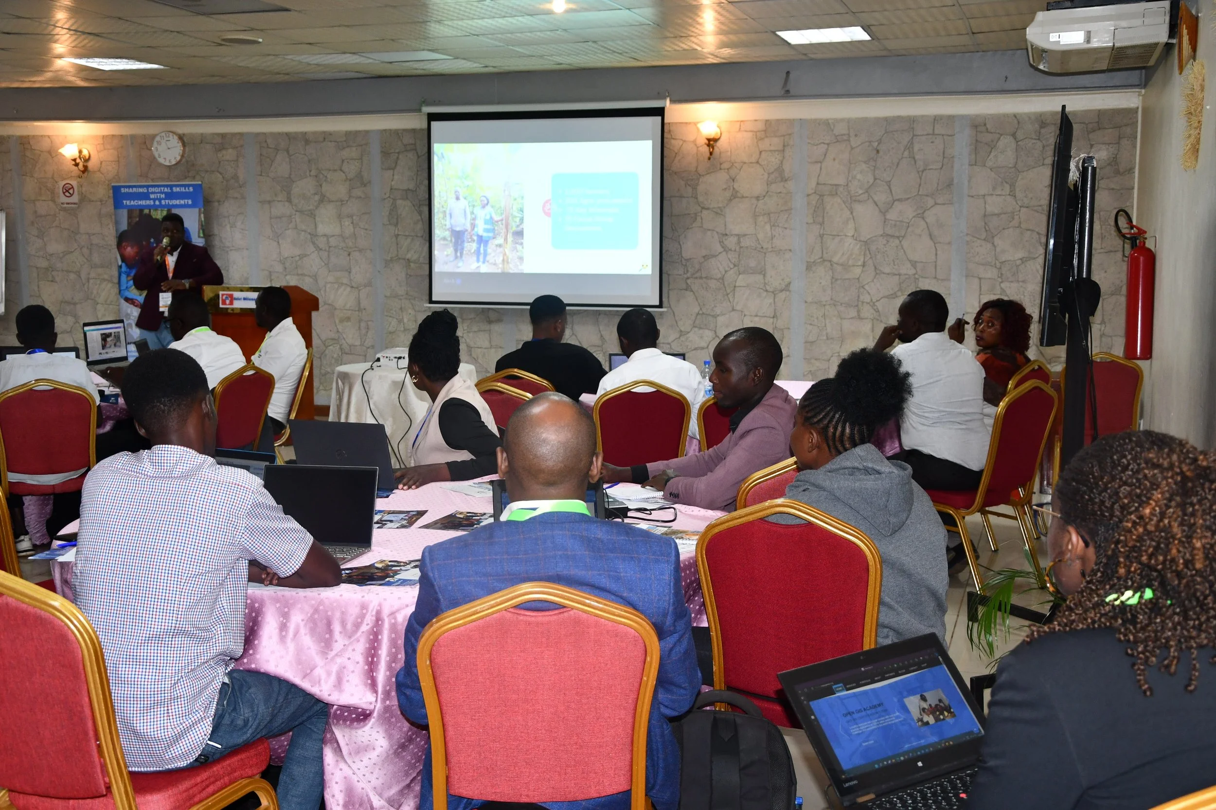


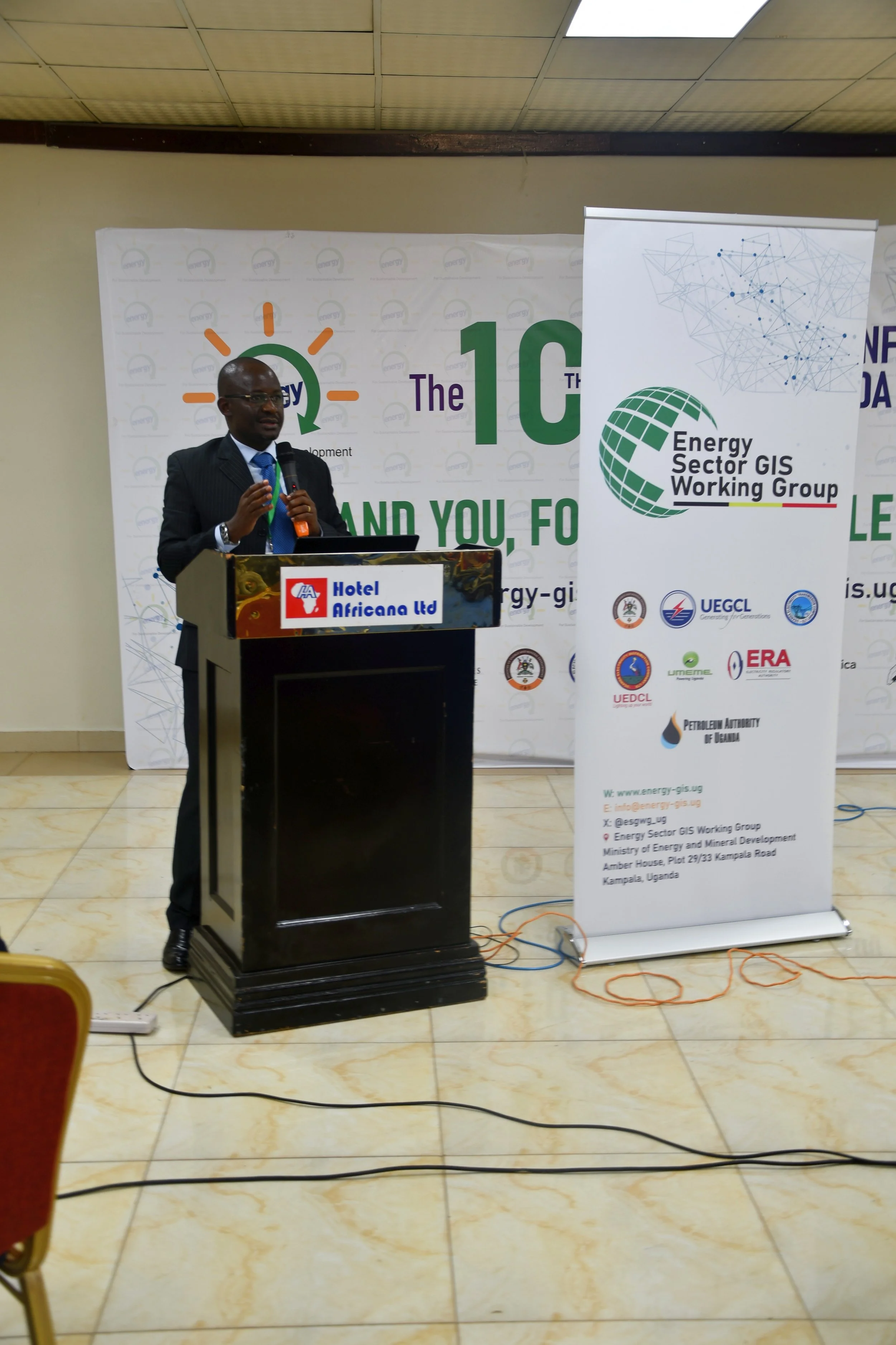


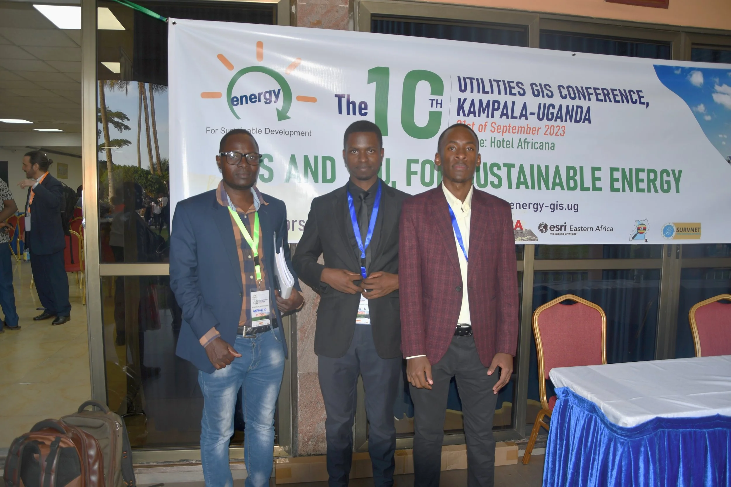
For the 10th anniversary edition of the conference, the ESGWG steered away from its previous setup of plenary sessions only, but focused on a 1-day, highly interactive event, packed with inspiring demonstrations and interactive workshops that not only informed, but engaged the audience to use GIS for the Utility sector of Uganda. These activities are aligned with the ongoing efforts in the energy sector towards developing Uganda’s sustainable energy program with coordinated planning across the energy chain. The country’s energy transition plans, commitments to curb climate change while ensuring sustainable use of the energy resources is an opportunity for further adoption of GIS as an information tool.
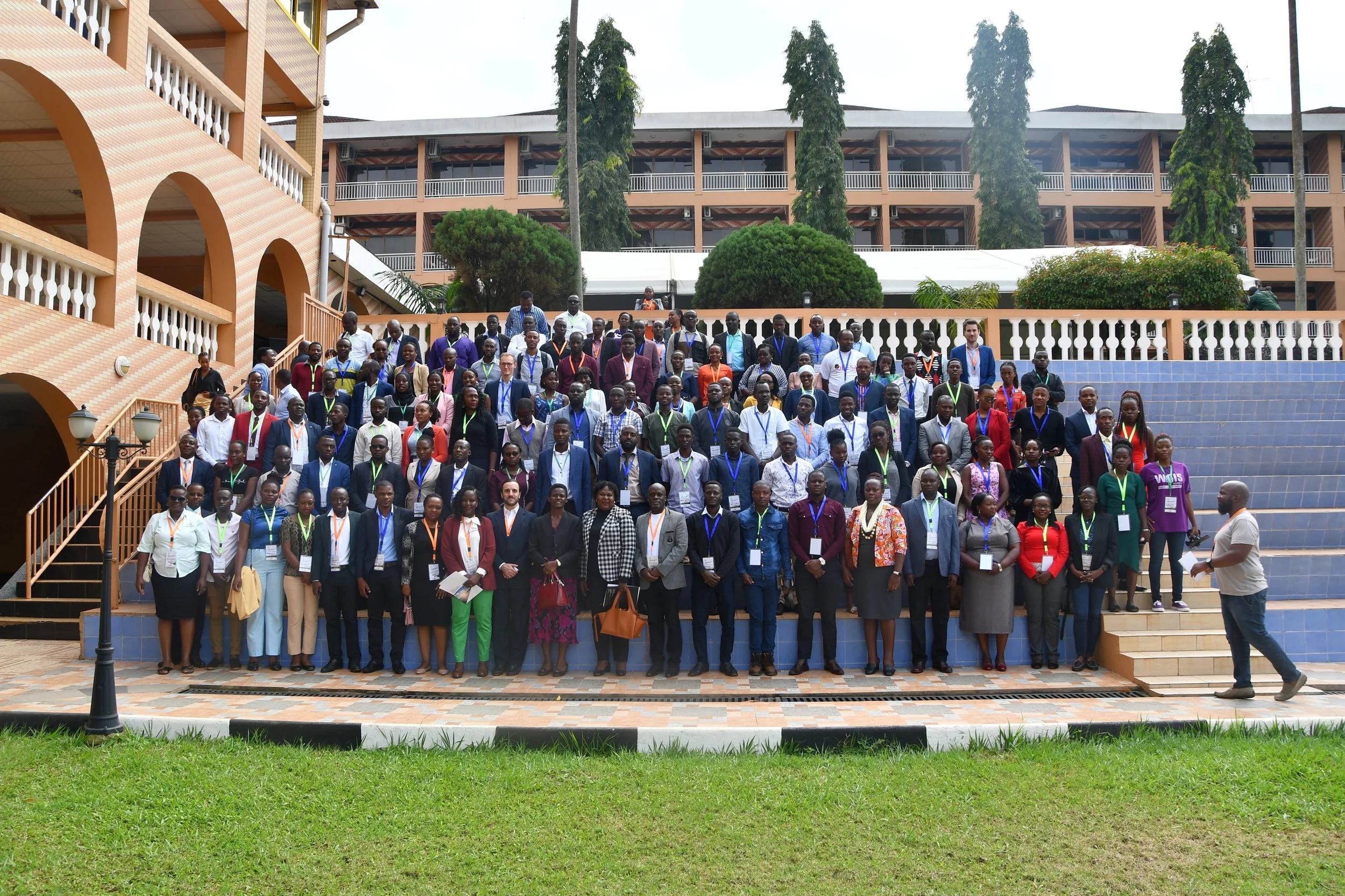
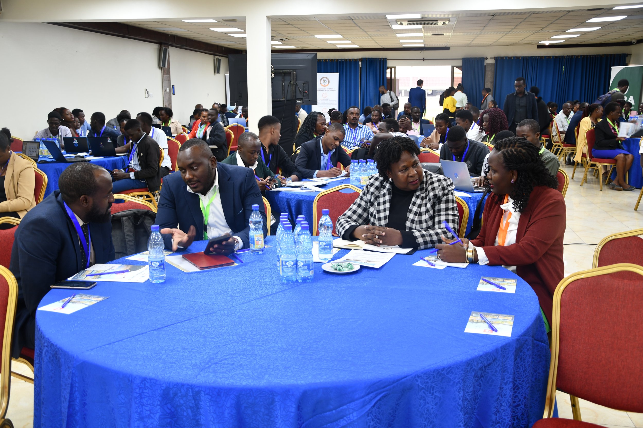
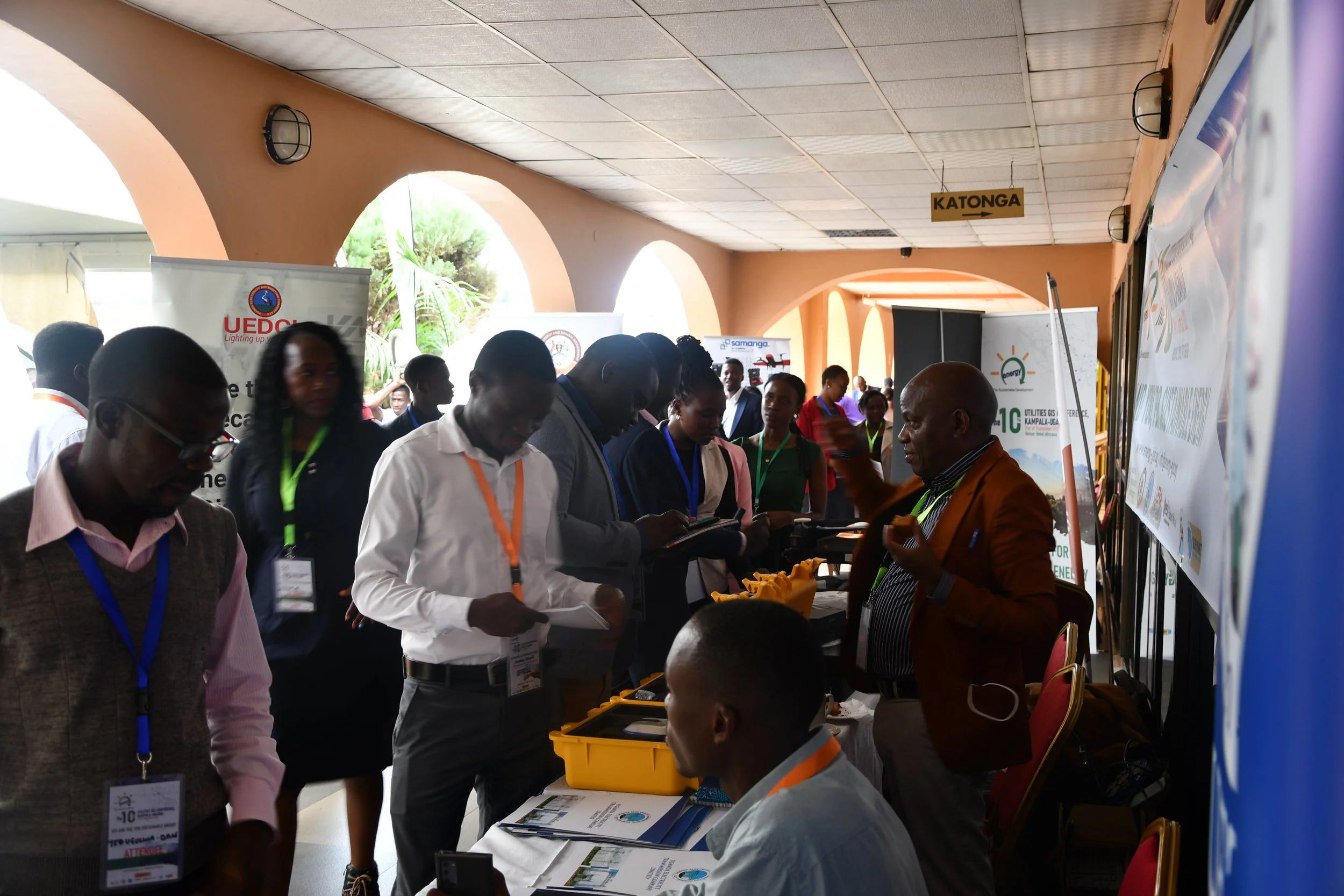
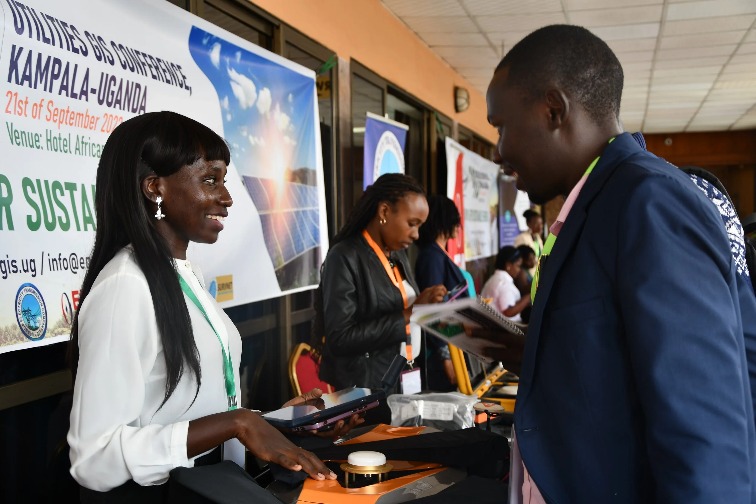
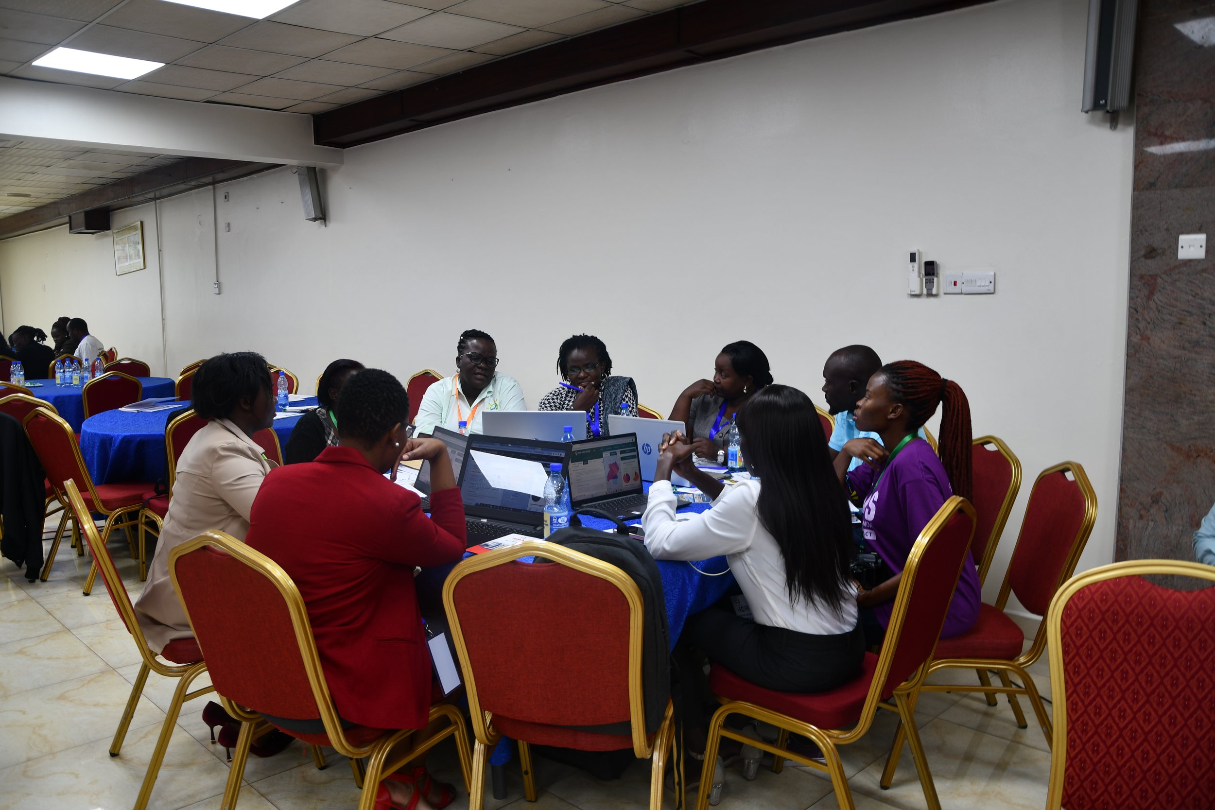
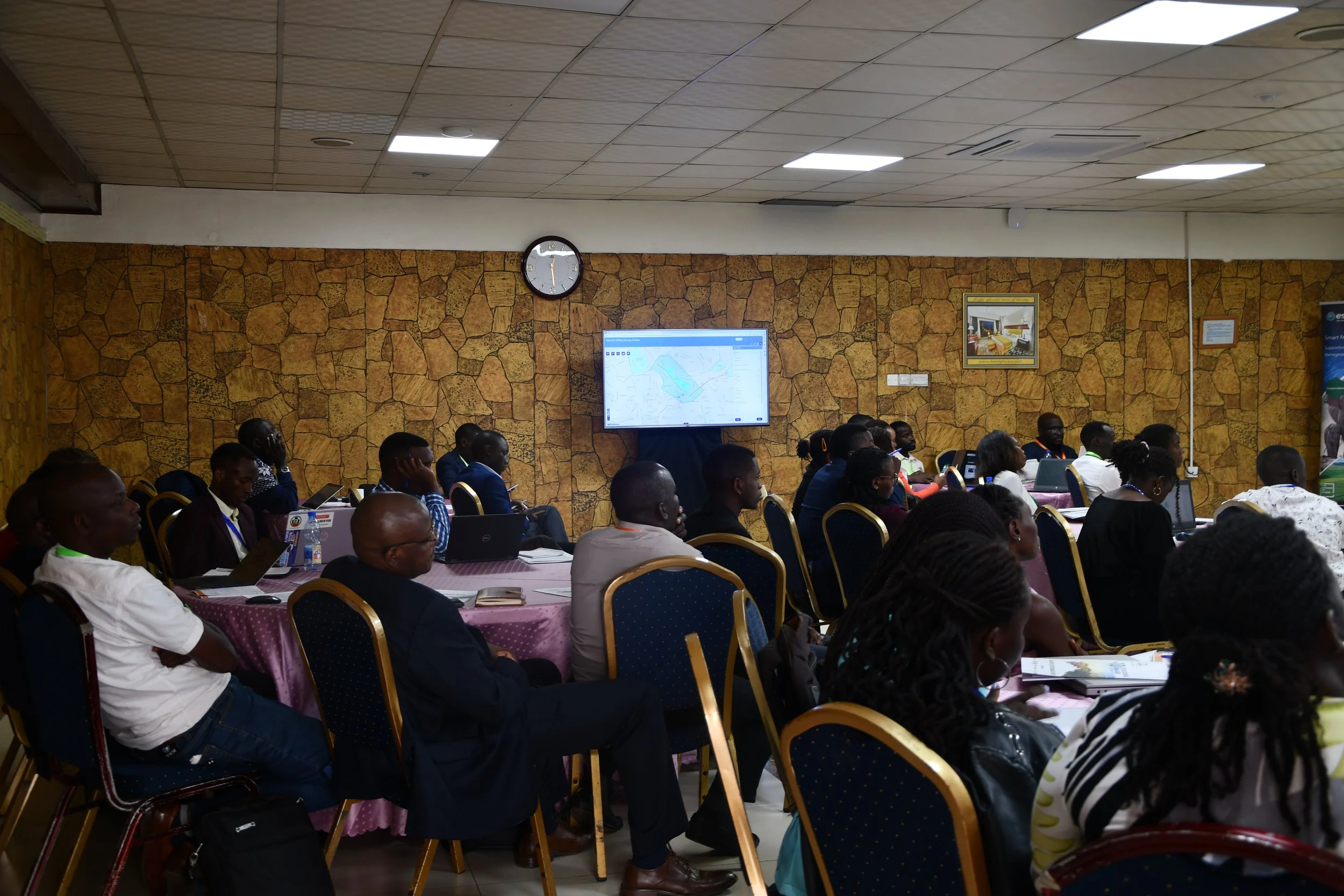
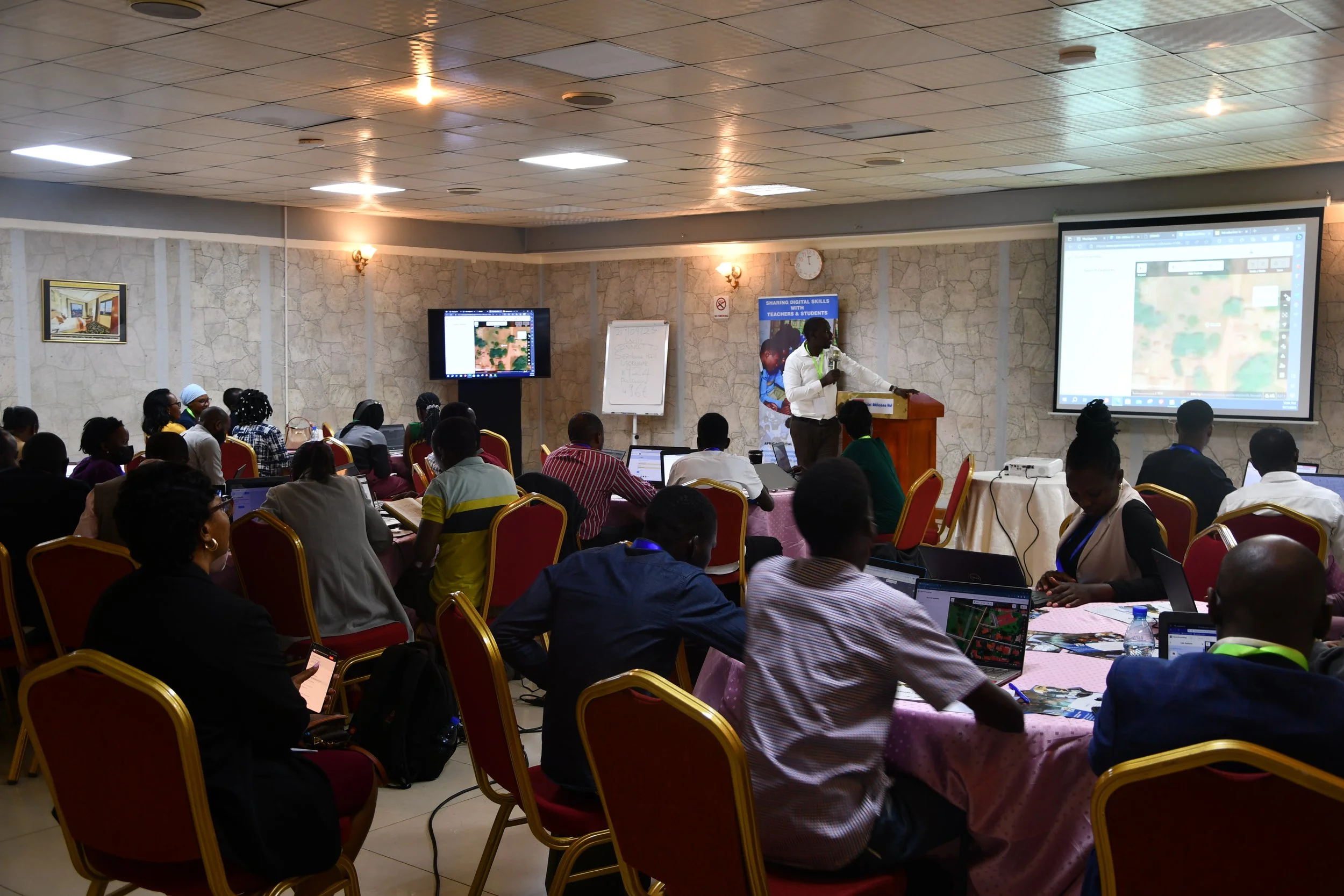
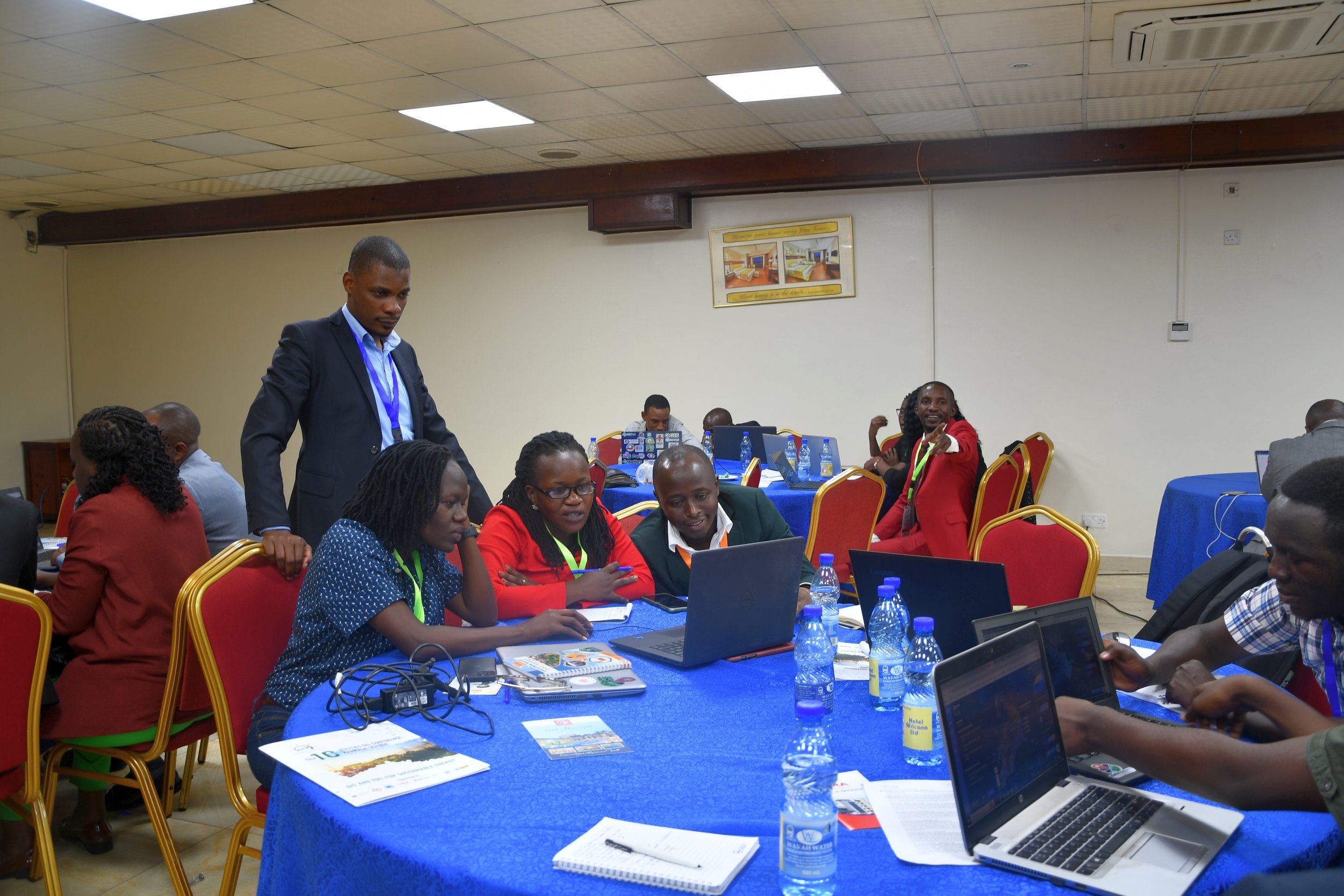
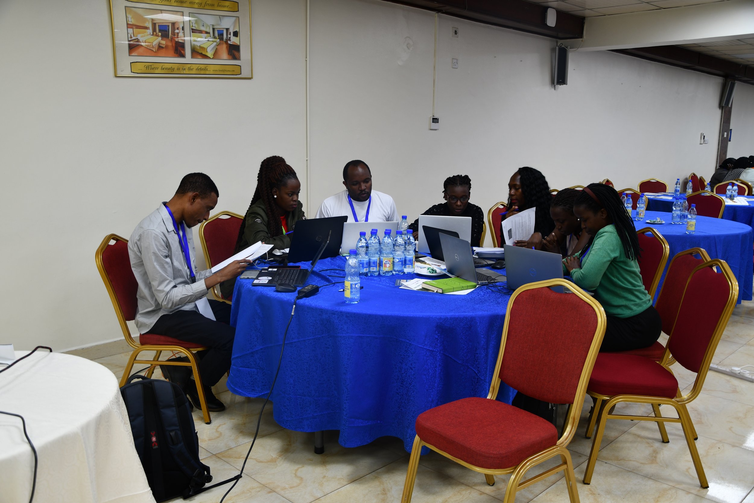
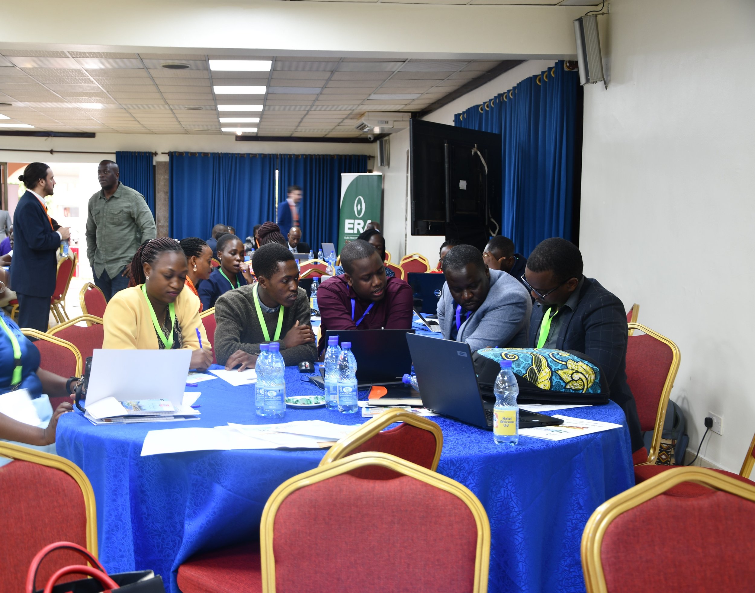
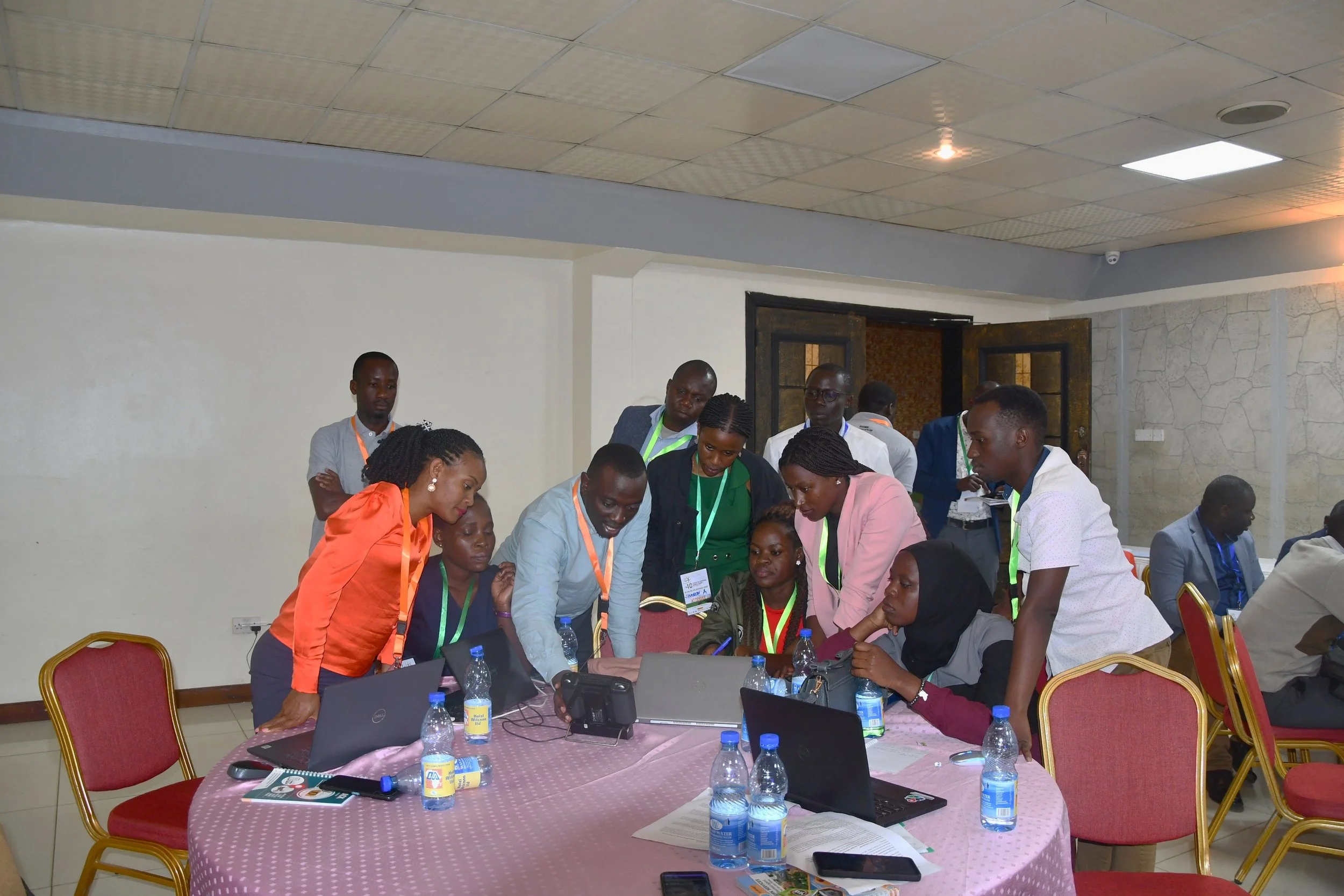
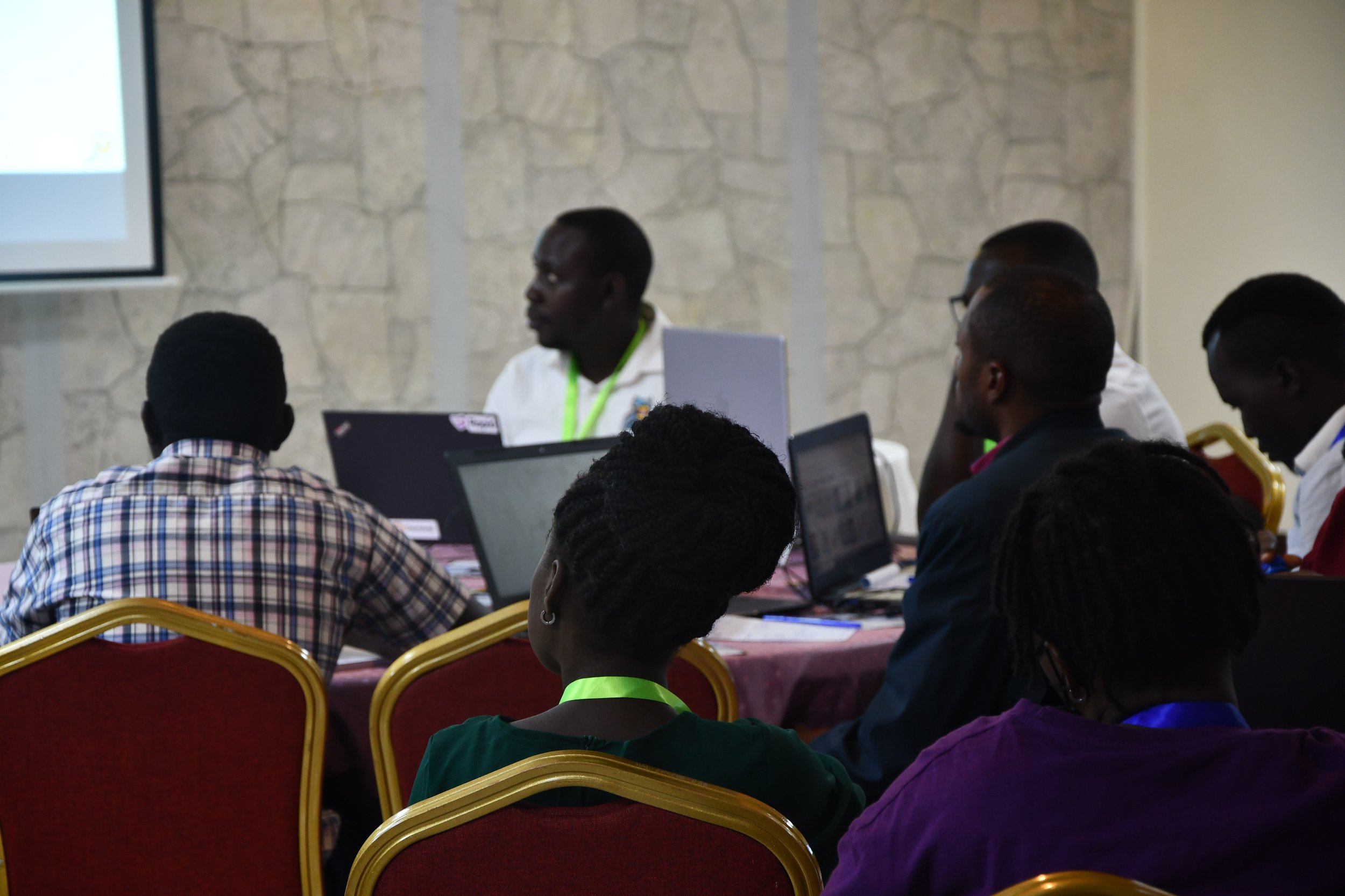
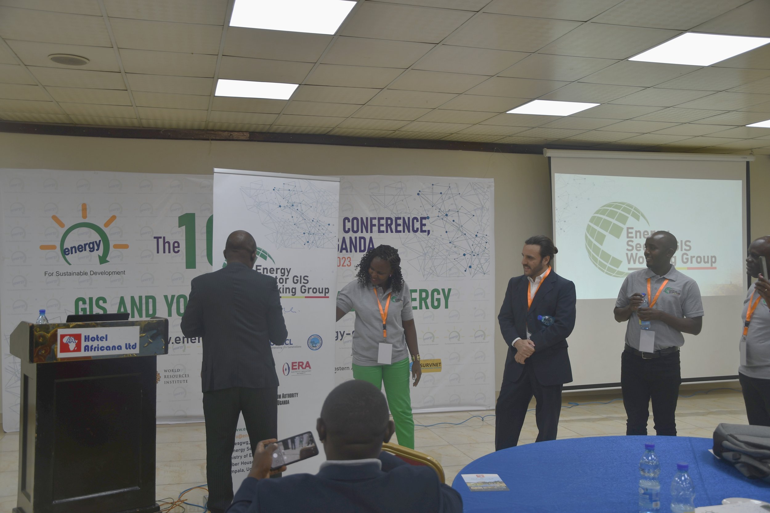
The ESGWG invited its partners to host 2-hour, concise and interactive sessions to not only showcase their Geospatial applications for the Utility Sector, but let the participants interact and give input to the Geospatial solutions of today. Whether a 2-hour training on a digital mapping tool, geospatial planning platform, or a hands-on drone flying session, these interactive sessions engaged the audience to provide their input and grow their experience.
Interactive Breakout Session 1
World Resources Institute (WRI)
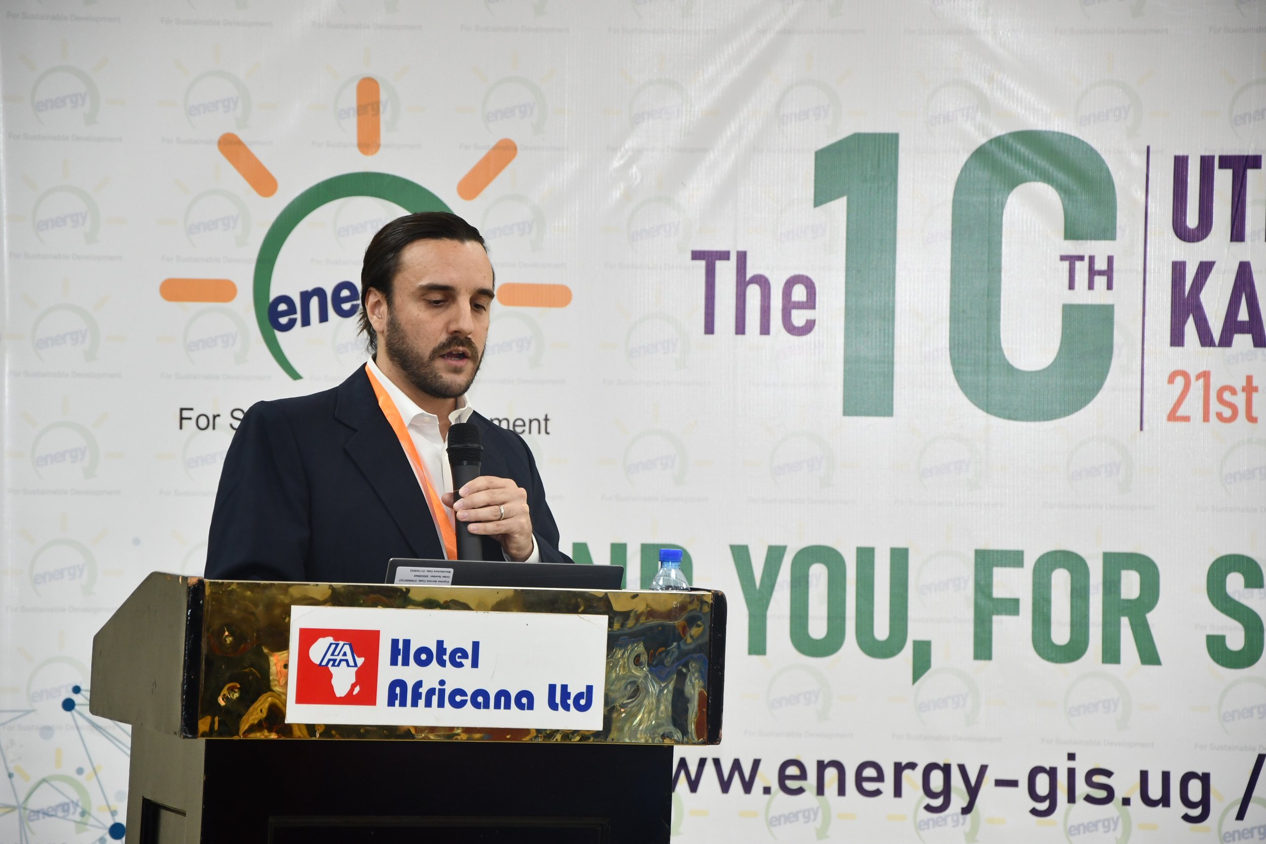
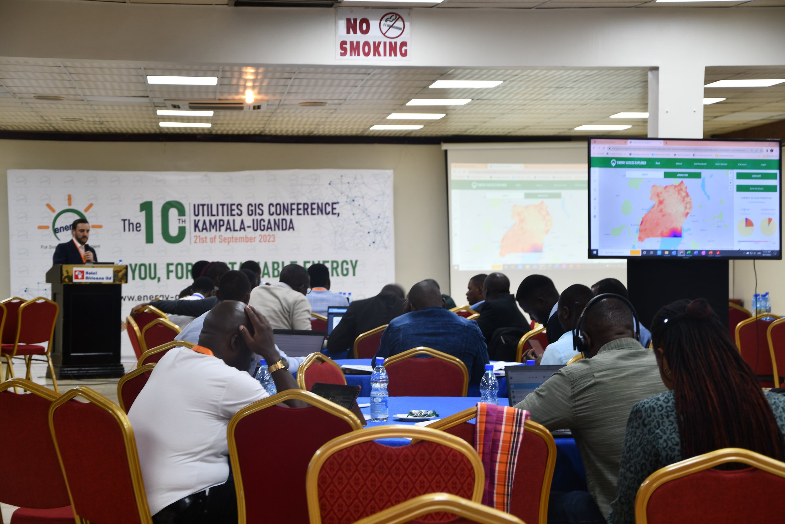
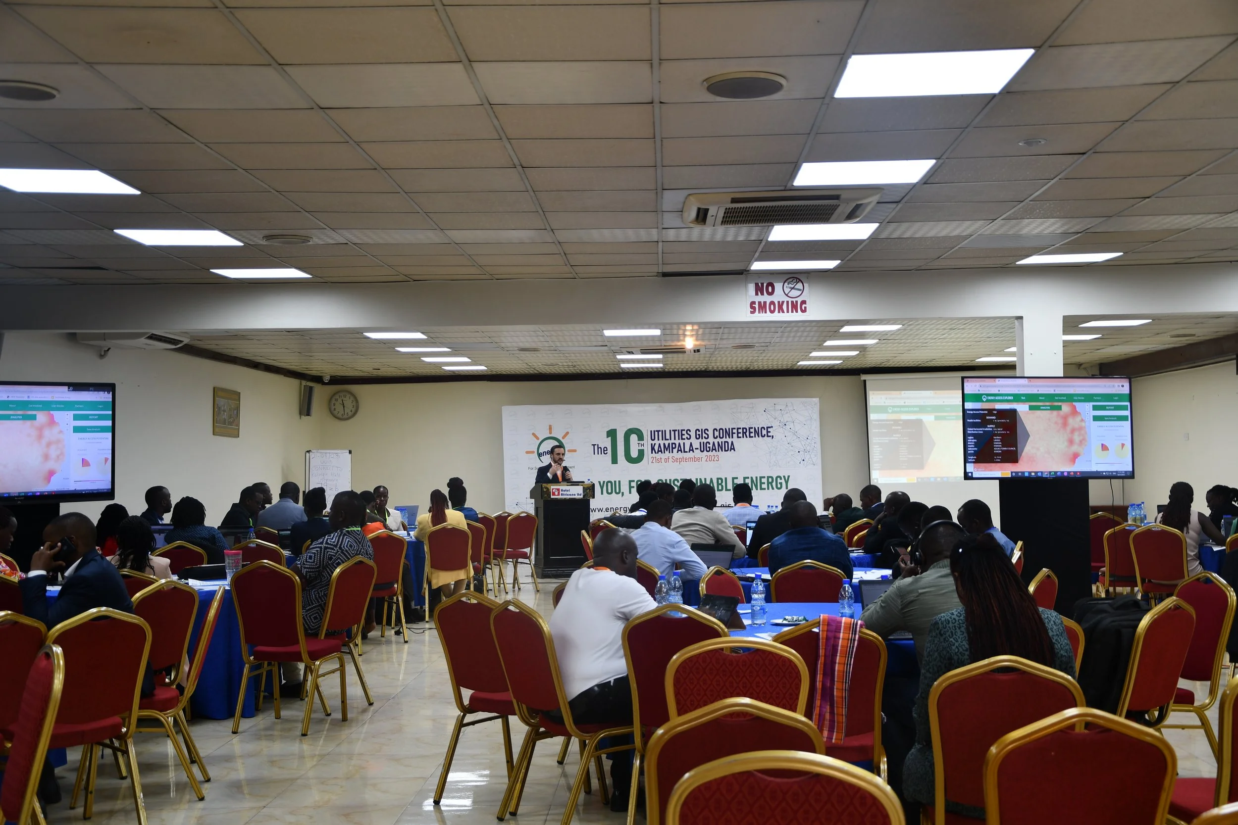
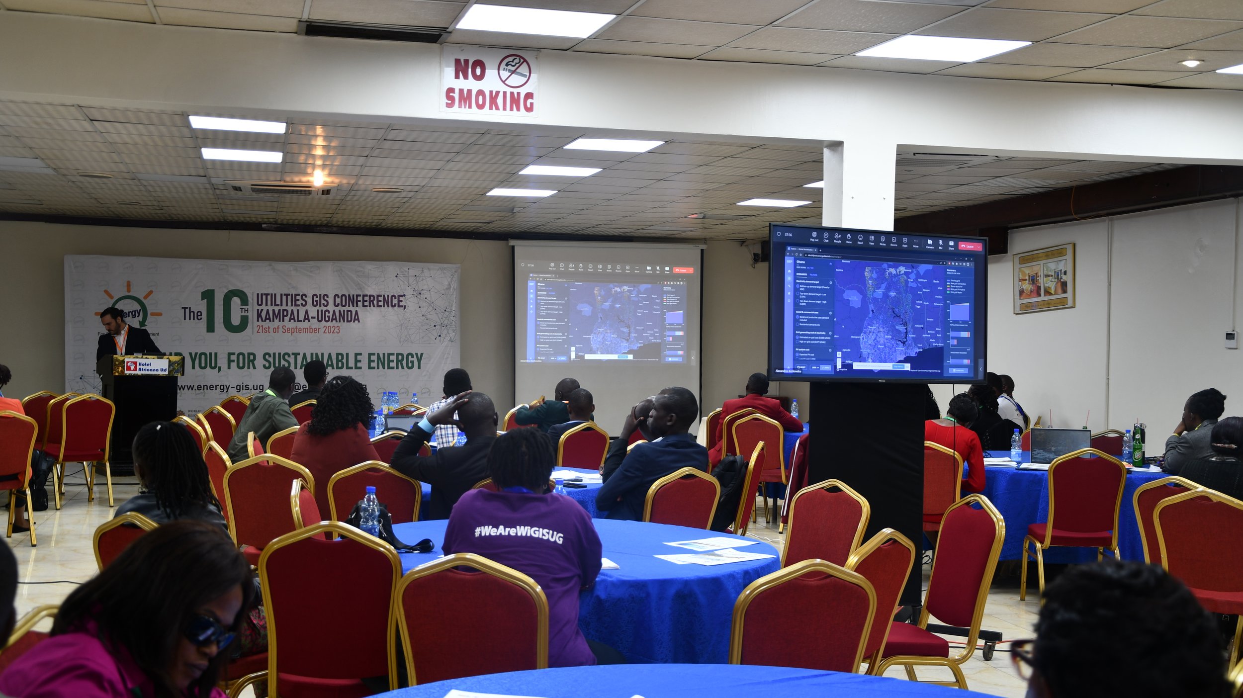
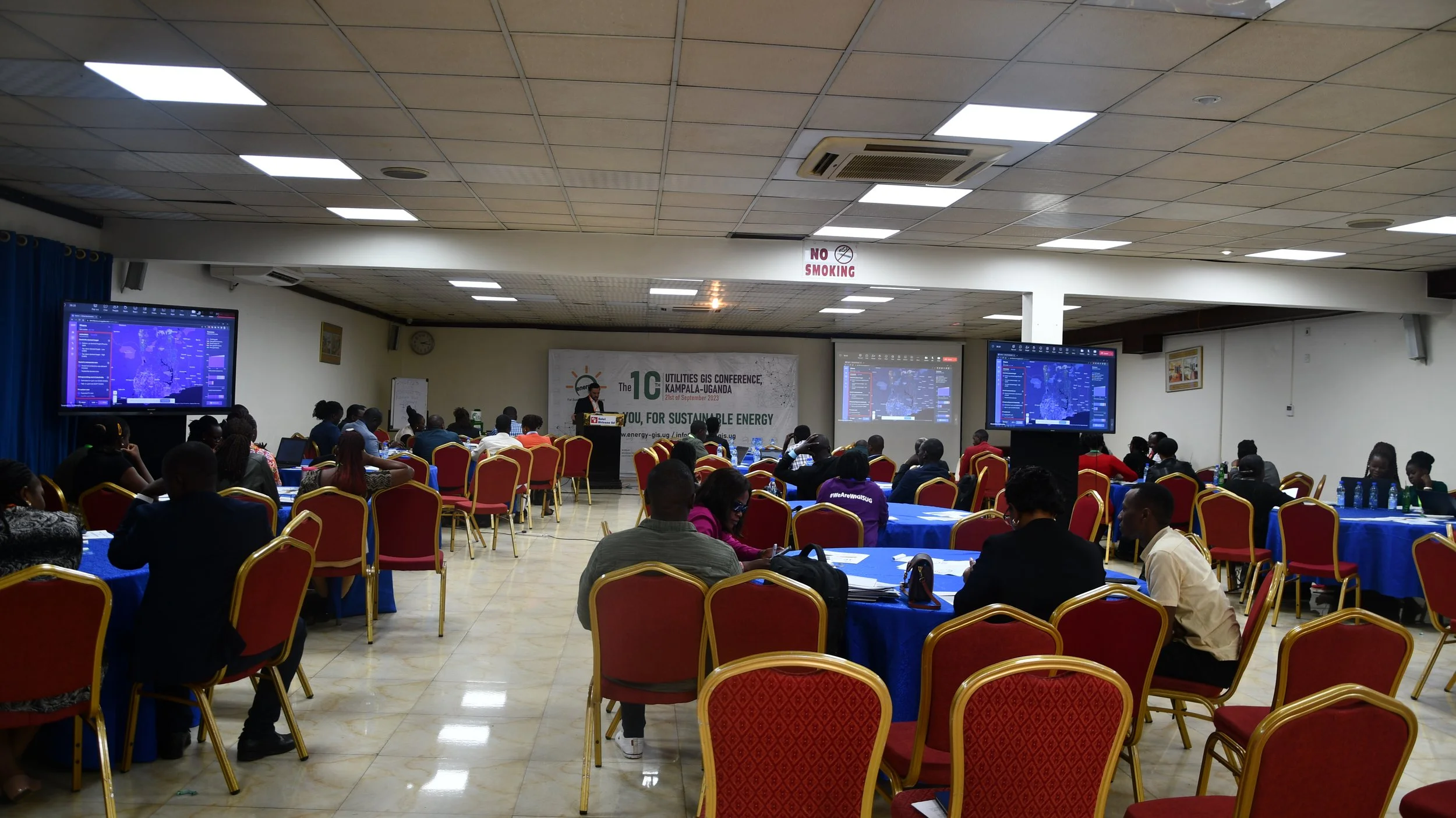
Energy Access Explorer: A Digital Public Good to Deliver Climate-friendly and Viable Energy Transitions for All
Energy Access Explorer (EAE) is an online, open-source, interactive, geospatial platform that enables clean energy enterprises, energy planners, donors, and development-oriented institutions to identify high priority areas for energy access interventions and linked to socio-economic development. EAE provides geospatial data and analysis necessary to create a future where all people and institutions have access to affordable, reliable, and modern energy. EAE also functions as a dynamic information system facilitating data management and governance.
Download: Presentation | TutorialEsri Eastern Africa
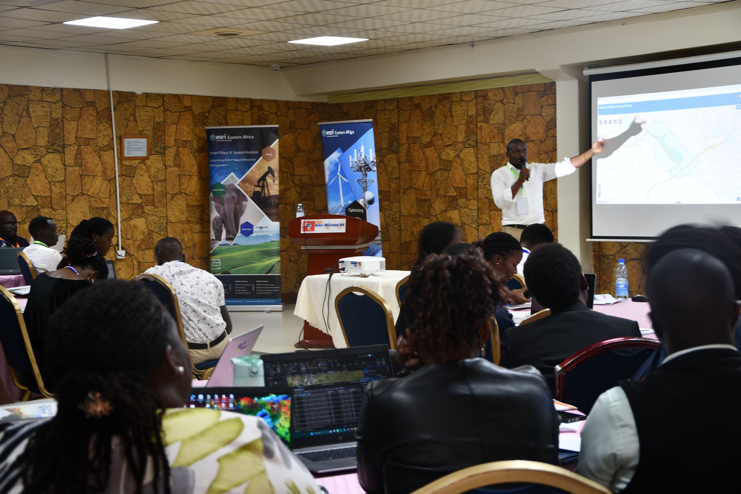
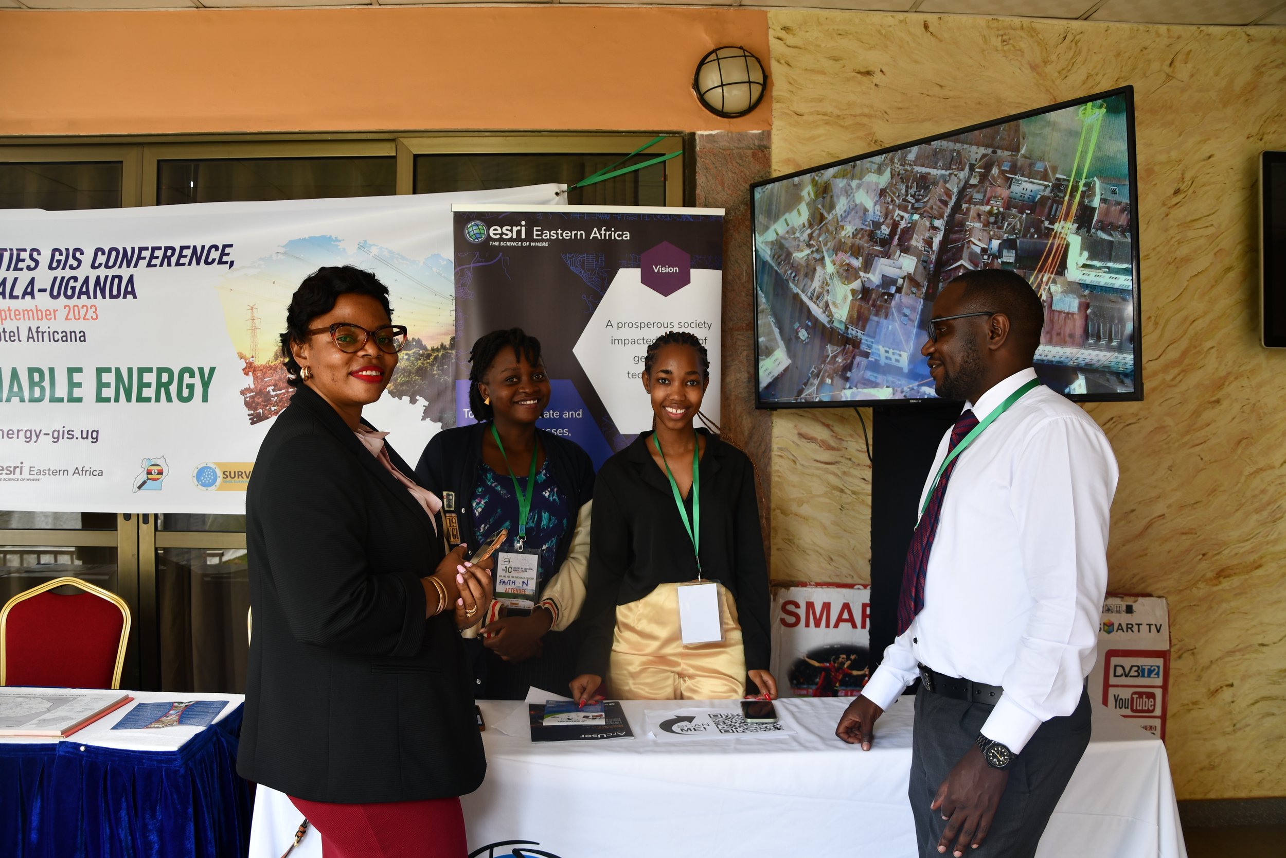
From Data to Decisions: ArcGIS Applications in Utility Sector Planning
In the dynamic landscape of Uganda's utility sector, making informed decisions that drive sustainable energy development requires a strategic integration of data-driven insights. This interactive session, hosted by Esri Eastern Africa, will unravel the transformative potential of ArcGIS in utility sector planning.
Download: PresentationMapUganda (OSM)
The Role of Open Source Software and Open Data in Development of the Country
The conference participants will learn how we utilized open source software and open data to develop a GIS-based system that is now being utilized by city officials to mobilize revenue in their area for development. As well as how this can be replicated in the energy sector for the country's development endeavors.
Download: Presentation
Interactive Breakout Session 2
World Bank (CCG)
OnSSET/The Global Electrification Platform
This session will introduce participants to the use of GIS data and processes to support electrification planning. The session will focus on the use of the Open-Source Spatial Electrification tool (OnSSET) and its main application, namely the GEP (Global Electrification Platform). Participants will learn how to navigate the interactive platform, distinguish differences between different electrification scenarios, understand the key values as well as how to extract info/insights that may be useful to their day-to-day work.
Download: PresentationSamanga Solutions
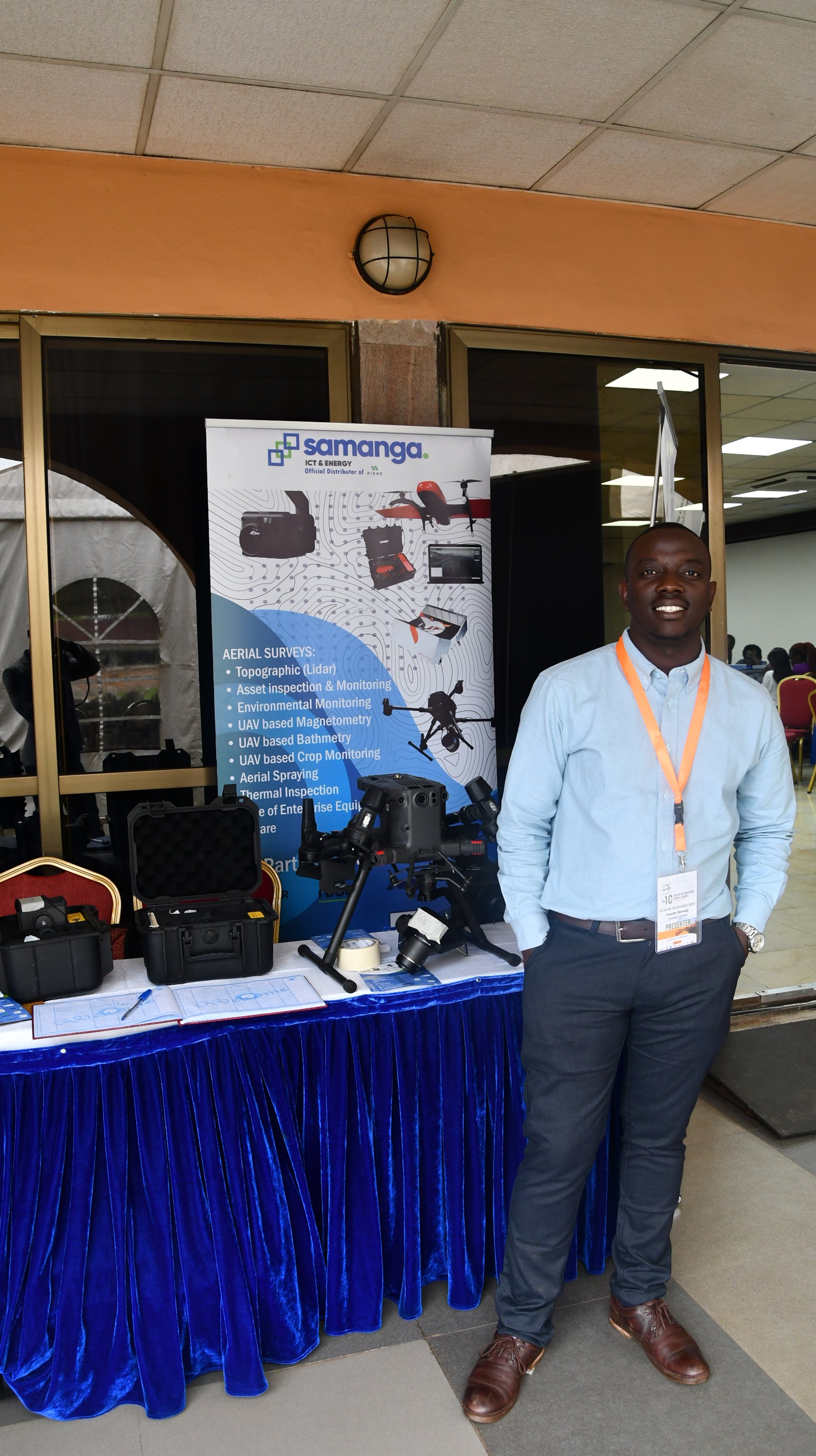
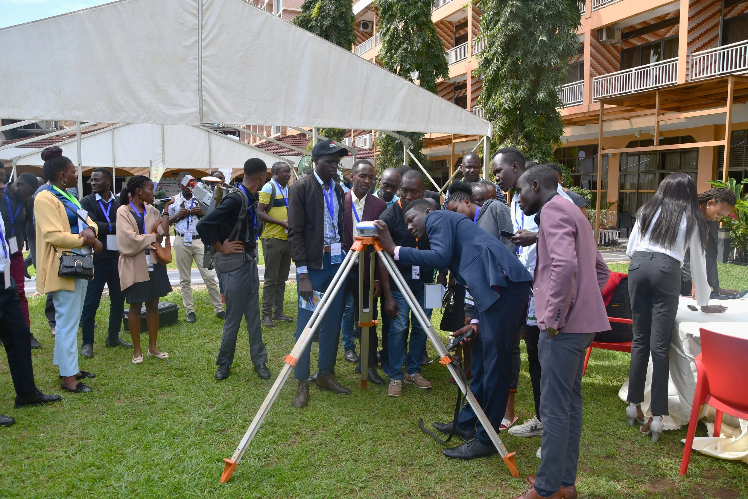
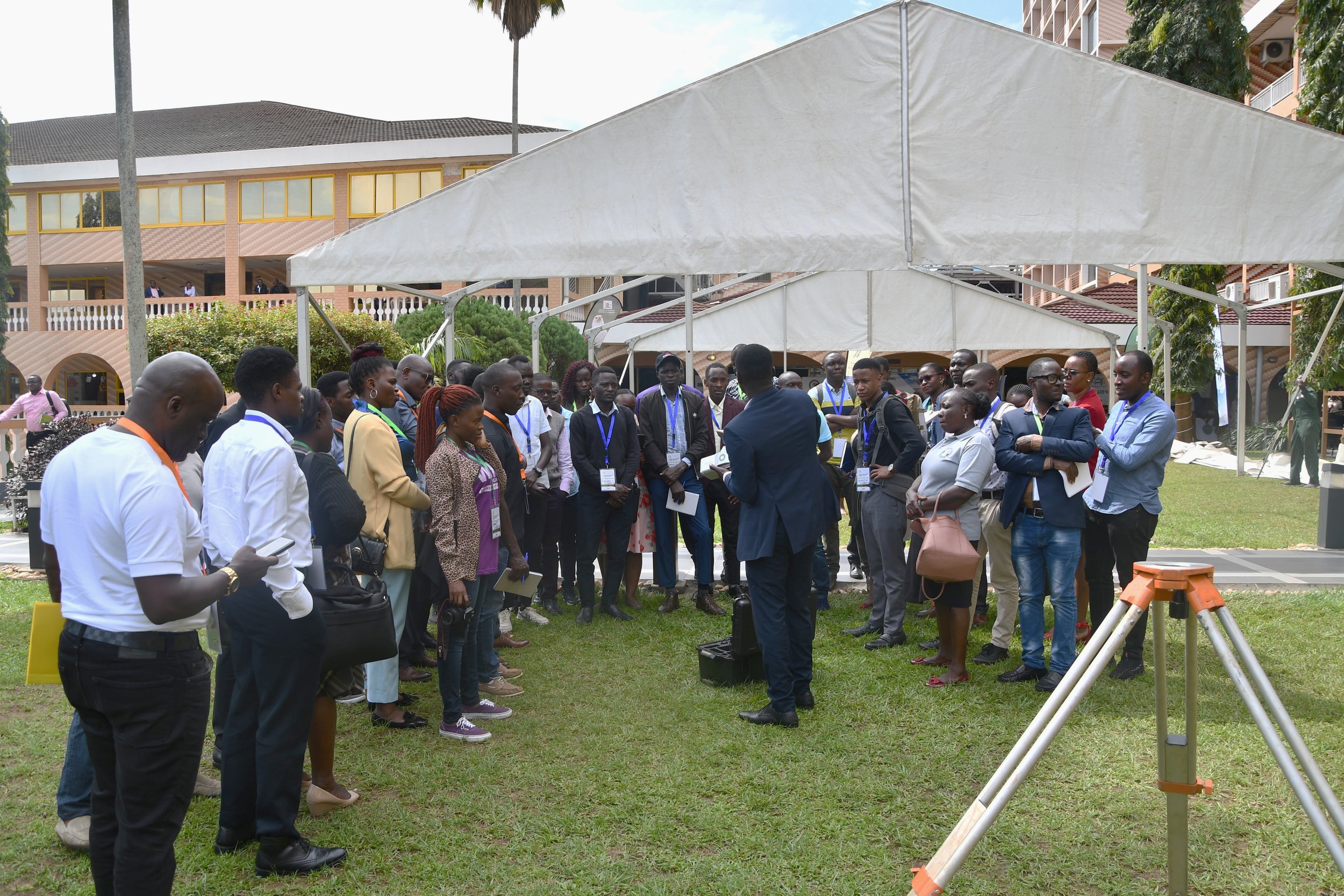
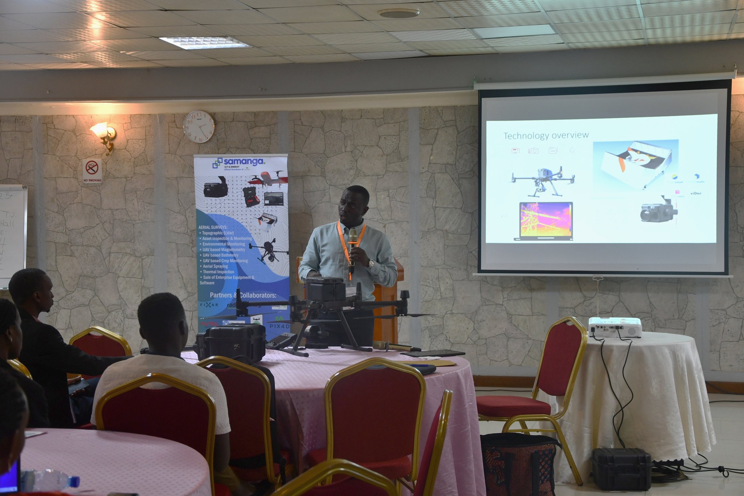
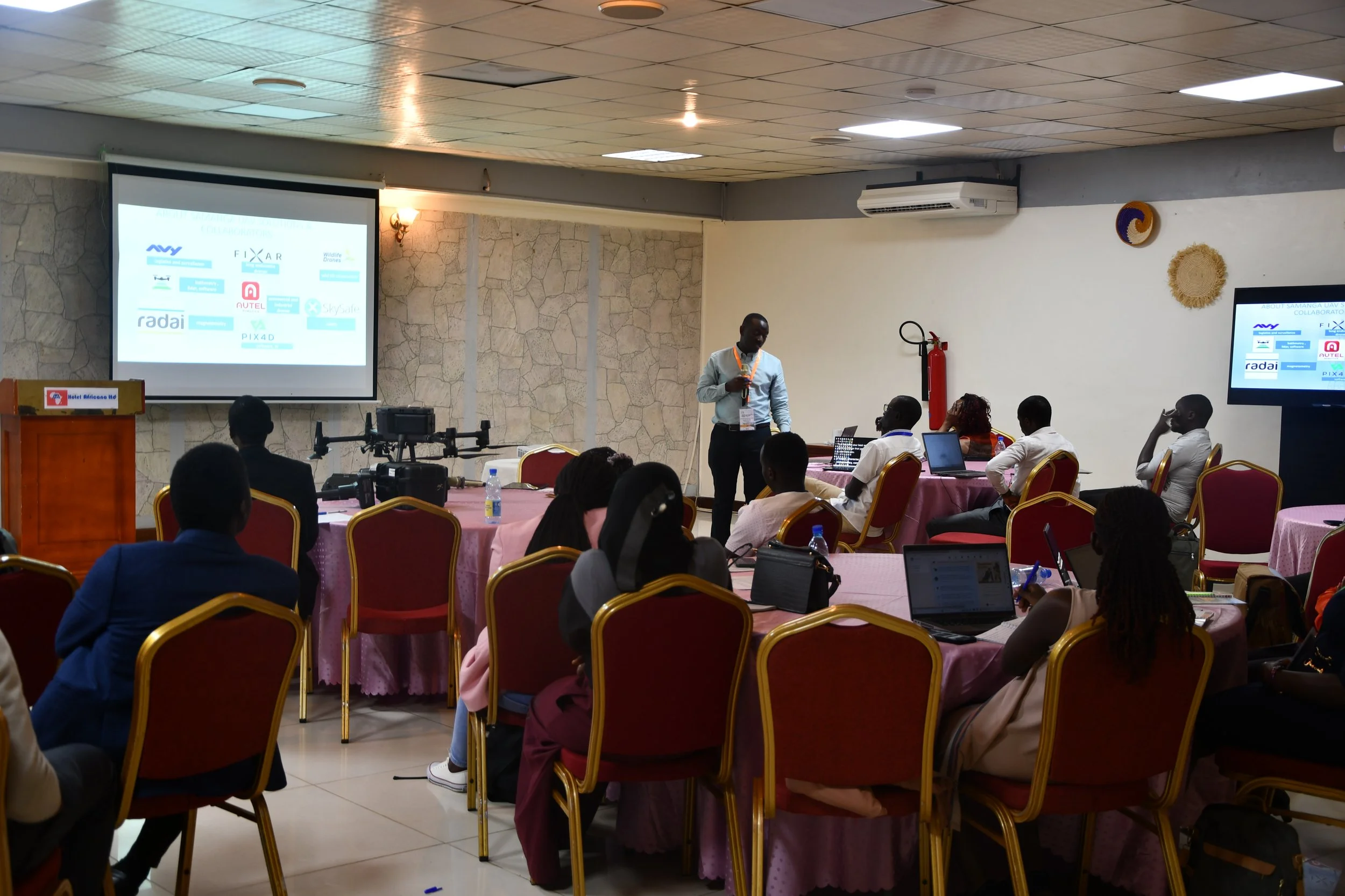
Application of UAVs for Utility Mapping
Unmanned Aerial Vehicles (UAVs) have emerged as indispensable tools in the field of Geographic Information Systems (GIS) for utilities. We will explore how UAVs with different payloads are transforming utility operations by providing real-time geospatial data, enabling accurate asset management, infrastructure planning, and ultimately enhancing the reliability and resilience of utility services.
Download: PresentationSurvnet Uganda Ltd.
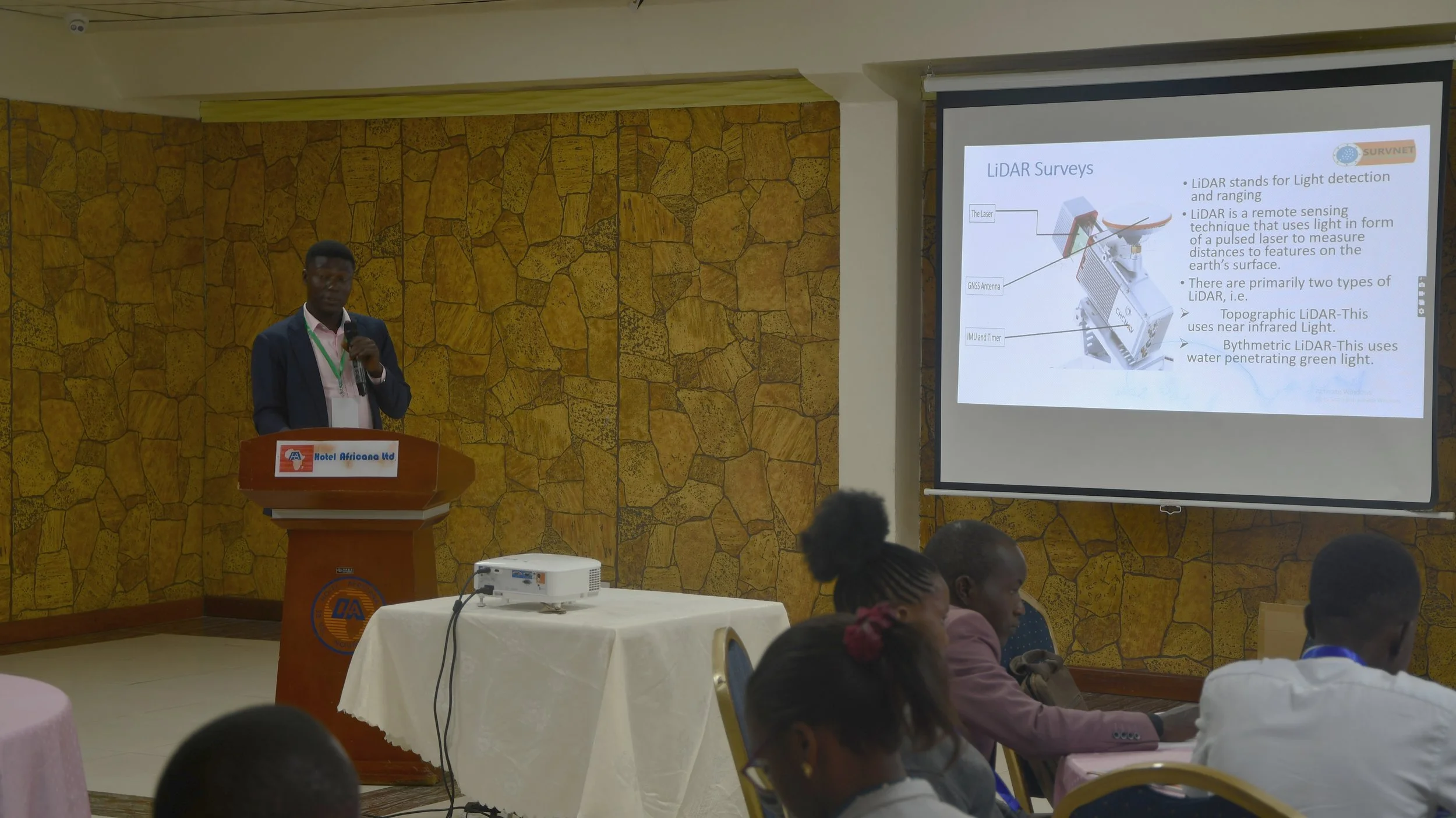
Embracing New Technologies in Surveying and Engineering.
LiDAR, a beacon of cutting-edge technology, has illuminated a myriad of captivating applications in the energy sector, particularly in the realms of renewable energy and resource management. LiDAR technology harnesses the power of laser pulses to provide intricate terrain data swiftly and with high precision. This is utilized to generate highly accurate and detailed topographical maps, allowing industry participants to revolutionize project planning and infrastructure construction.
Download: Presentation